

Government Surveying and Infrastructure Projects
Browse through a selection of our land surveying and land development projects
BCSC Projects
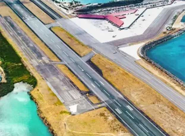
Cyril E. King Airport in St. Thomas, U.S. Virgin Islands
BCSC Dospiva performed boundary and topographic surveying services at Cyril E. King Airport in St. Thomas, U.S. Virgin Islands, in support of a major infrastructure improvement project. The high-accuracy existing conditions survey was critical for meeting the project’s strict geospatial positioning standards.
Services Provided
-
Boundary Surveying
-
Topographic Surveying
-
3D Laser Scanning
-
GNSS Surveying
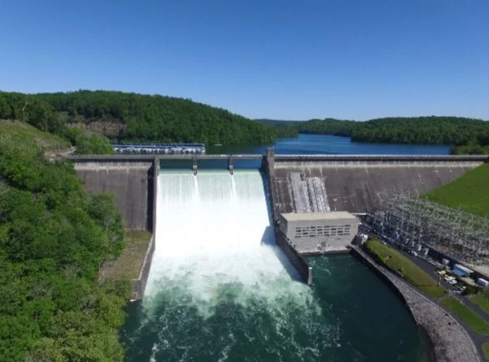
Tennessee Valley Authority Utility Surveys – Various Locations
(TN, KY, MS, AL, GA, SC, NC)
BCSC performed underground utility location, surface correlation surveys, and mapping across an 8-state region. Deliverables were completed using GNSS/VRS GPS and robotic total stations, supporting energy infrastructure upgrades.
Services Provided
-
Topographic Surveying
-
Underground Utility Location
-
GPS Surveying
-
GNSS Surveying
Government Projects
Our Customers
Trusted by developers, municipalities, and contractors since 2002.


