


Residential Land Surveying and Development Projects
Browse through a selection of our land surveying and land development projects
BCSC Projects
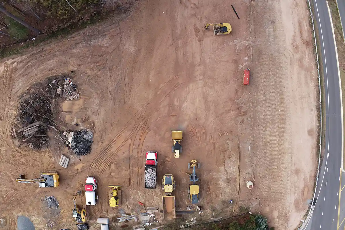
Bexford Subdivision – Fuquay-Varina, NC
BCSC provided full surveying services for the Bexford Subdivision in Apex. From initial boundary and topo surveys to staking and as-builts, our Apex-based team supported every phase of this residential development, ensuring precise utility placement and lot layout in alignment with town standards.
Services Provided
-
Boundary & Topographic Surveying
-
Construction Staking
-
Utility Coordination
-
As-Built Surveys
Crantock Boundary Retracement
This project involved a comprehensive boundary retracement survey conducted to ALTA/NSPS 2021 standards. The property surveyed consisted of a single parcel totaling approximately 237 acres, with over 15,500 linear feet of property lines, including 8,000 linear feet following the centerline of Middle Creek.
Services Provided
-
Boundary & Topographic Surveying
-
Construction Staking
-
Utility Coordination
-
As-Built Surveys
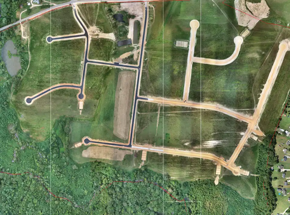
Norris Landing - Johnston County, NC
The initial scope of this project included performing a boundary retracement survey to ALTA/NSPS 2016 standards, along with wetlands delineation, a topographic survey, and Subsurface Utility Engineering (SUE) services. The project area consisted of six parcels, totaling over 80 combined acres and involving more than 15,000 linear feet of property lines. Following completion of the initial surveys, our team was contracted for additional services, including topographic surveys and cross-sections for a flood study, staking of proposed greenway alignments, preparation of a recombination and annexation plats.
Services Provided
-
Boundary & Topographic Surveying
-
Aerial Mapping
Our Customers
Trusted by developers, municipalities, and contractors since 2002.


